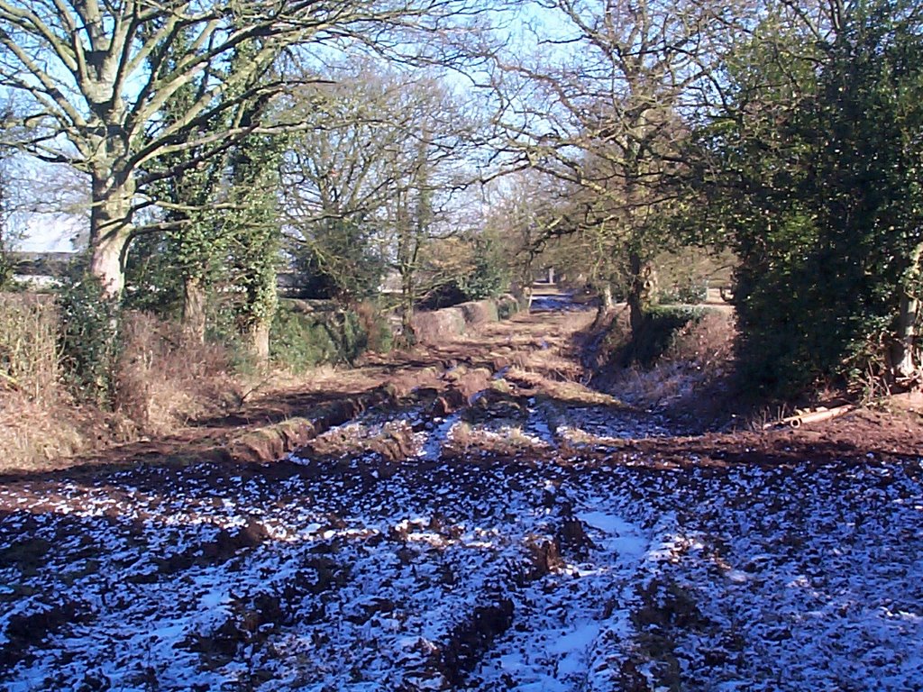
Strolling along Saltersford Lane, I came upon a notice proposing to extend the current bridleway from it's current terminus in the middle of nowhere on the side of a hill, down the hill to the old railway line and then across the Churnet to Quixhill Lane. This route follows the original course of the salt road as I speculated in an earlier post, and which can be seen on the Ordinance Survey First Series maps at www.visionofbritain.org.uk. According to the Staffordshire County Council website, though, the extension to the old railway path has been accepted but the crossing of the Churnet has been rejected.
One of the reasons for the rejection was that the land between the railway and the river is inherently boggy. This seems a bit strange, given the seas of mud elsewhere on the lane that no-one seems bothered about. Also, where is the line of slabs that characterise a packhorse route and are present elsewhere on the lane? Surely, uncovering or replacing these would make the route passable. I can't help feeling there's a solid road surface under the grass, somewhere.
The reason I suppose I must accept, though, is cost. The original Salter's Bridge is long gone (some time in the 19th century) and it would presumably be somewhat costly to build a new one. It would be nice to have more access to the river, though. There's far too much barbed wire in the countryside and the recent "right to roam" legislation hasn't done much to help.
So it has been decided that the bridleway will run down the hill on its original line to the old railway and then be diverted along it to Denstone. There, riders will have to take their chances with the traffic, if they want to get across the river at Quixhill Bridge.