
So much for proof reading.
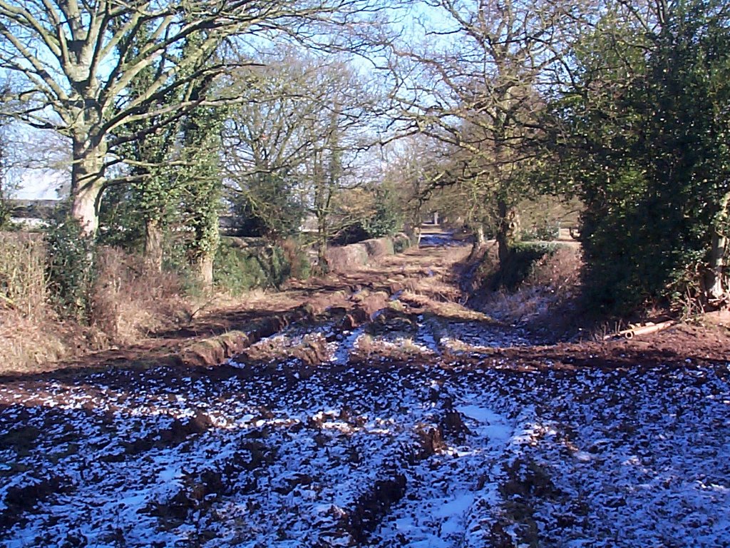
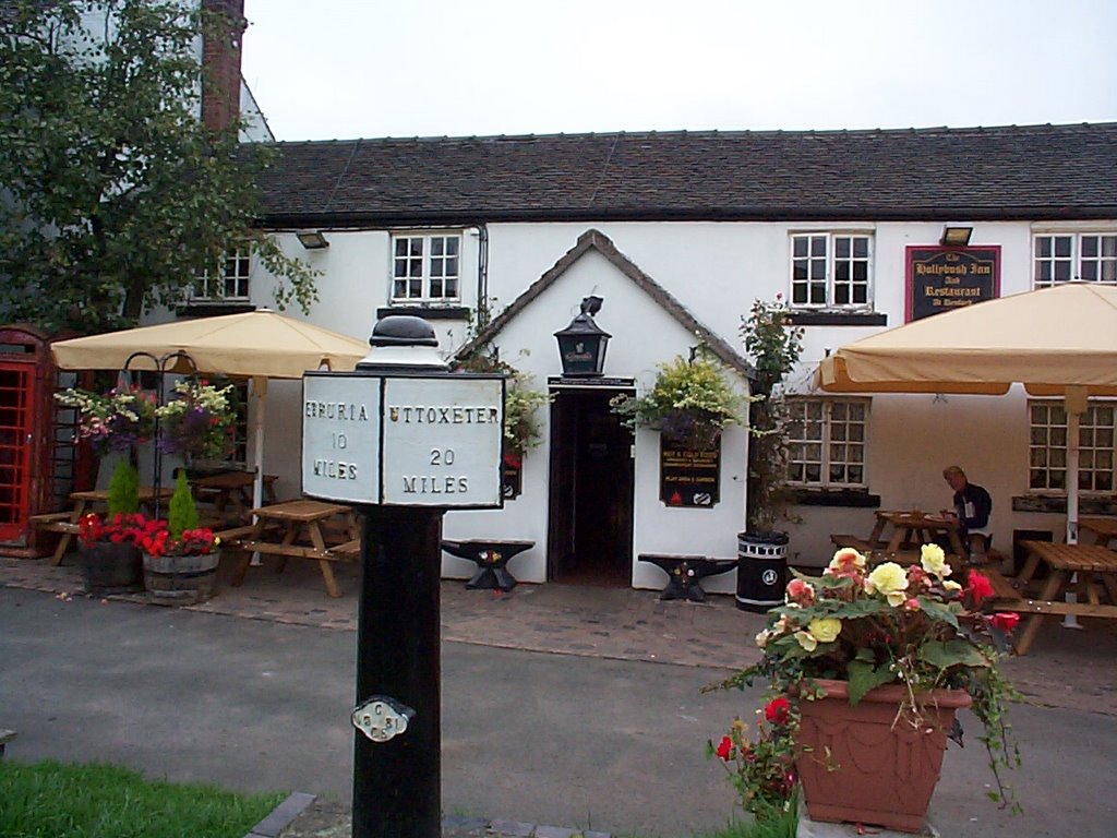
 The site has been "identified" as a "major regeneration opportunity", which usually means housing. I did notice, a while back, notices appeared for an action group opposed to such a scheme and such a small community could easily be swamped by in-comers. However, with no shop and a pub that struggles for trade outside of the tourist season, I would think that anything is better than slow death by neglect. The view will certainly improve, if nothing else. Perhaps some development cash could be used to do up the adjoining Froghall Old Wharf. The canal itself is fine, but the wharf buildings are currently derelict. That would only leave getting rid of the scrapyard, next to Froghall Station, and restoring the Uttoxeter Canal on my wish list.
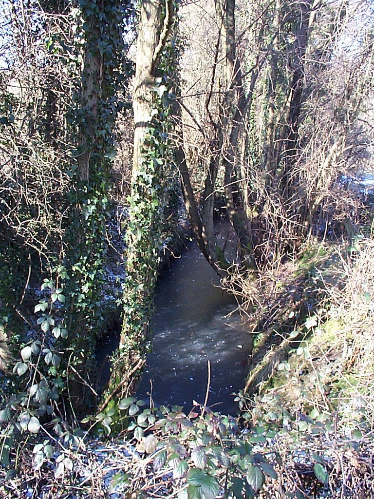 originally took boats through the river. This wasn't much use to the railway, which is why it's still there. On two previous visits, I had noticed a line of stones in the undergrowth, next a modern road, that runs across the line of the canal. I had wondered, initially, whether this might be the remains of a lock, but had concluded that it was, probably, just a wall. On this, my third visit, it suddenly became blindingly obvious to me that there was a great big water-filled stretch of canal leading up to this location and that there were really two lines of stones. Clearly, a lock, and, probably, Carringtons or Weir Lock, that lowered the canal to river level for the crossing. Pushing through the undergrowth for a better look just rammed it home; I'd missed something quite obvious that had stared me in the face. This was only the start.
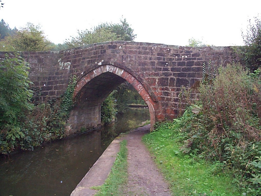
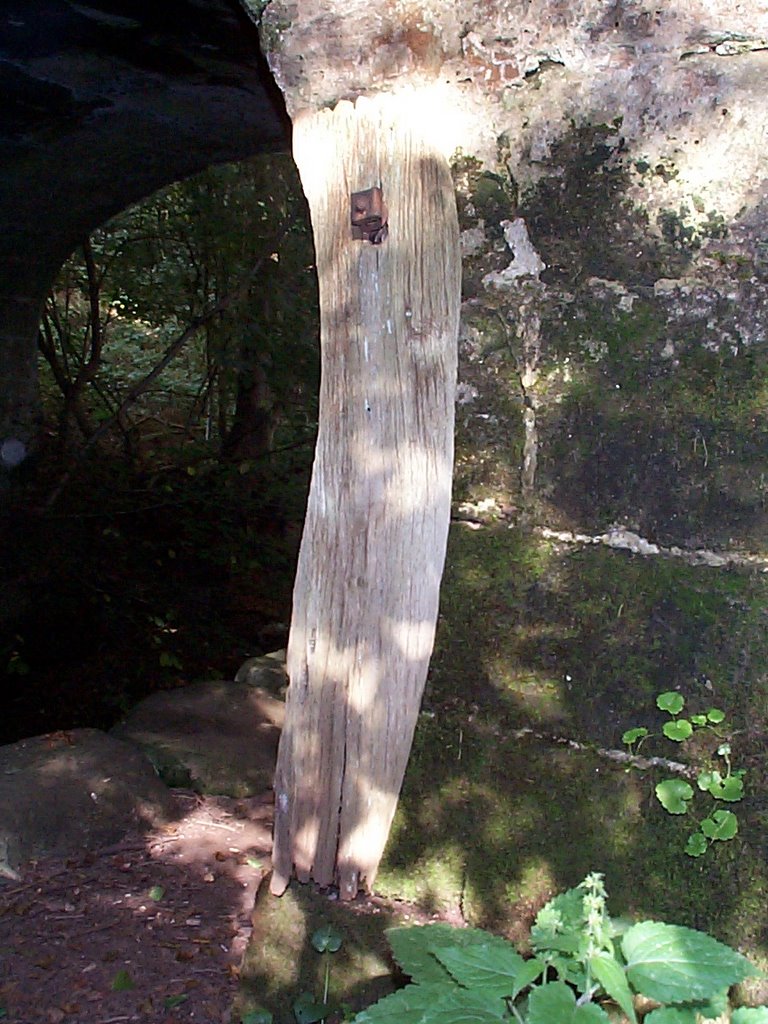 A short distance up the valley from the old lock, is an old bridge, called Seventy Bridge, which is so obvious that even I found it at the first attempt; its on the Ordinance Survey map, for a start. On my recent visit, there, I noticed that there is a plank of wood attached to it, where the towing path passes under. There is rope damage to the stonework behind it. The penny finally dropped. The plank is held in place by a bolt,
 exactly the same as a bolt sticking out of the remains of Morris's Bridge, further up the valley. I had wondered what the bolt on Morris's Bridge was for but had completely failed to take any interest in this much-more-obvious feature on Seventy Bridge. Mystery solved; some kind of rope damage protection. All I need, now, is to find a bridge on the Caldon Canal or the main line of the Trent and Mersey, with a similar device in place, at a location I've known for years, to feel totally stupid.