Heading back down the A53, I found my target, near to The Winking Man pub. I found both of my map targets were gullies, with water running off the moors down towards the infant Churnet. Unfortunately, it had clouded over, giving that bright overcast that makes photography difficult, so my efforts were not brilliant.
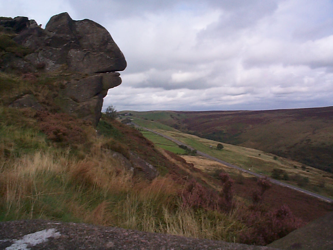
I got better results from the top of Ramshaw Rocks, on the other side of the A53, which offer an excellent view over the surrounding area. The climb was not difficult, although some bits were a bit vertigo-inducing. Carrying my lunch up with me probably wasn't a great idea.
Finally, I took a trip down to Froghall Wharf to look for a bridge, next to bridge 55 on the Caldon Canal, that carried the Foxt road over one or more of the Caldon Low railways. It is visible in photos from the early 20th century and I wondered if anything was still there. Sure enough, though most of it is now buried, the top foot-or-so of the arch is still visible and you can see daylight from the other side.
No comments:
Post a Comment